![]() A robot is crawling under the streets of Arlington, identifying frailties in city sewer mains, saving taxpayers millions in the process.
A robot is crawling under the streets of Arlington, identifying frailties in city sewer mains, saving taxpayers millions in the process.
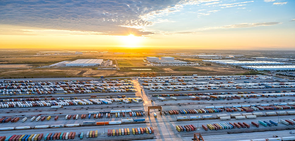
Autonomous vans—the first in the U.S. to cruise public streets—are shuttling people to The Star in Frisco. Inefficient traditional streetlights are being removed in areas of Dallas-Fort Worth, and are being replaced with poles bristling with sensors and low energy-consumption LED bulbs.
Those are just a few examples of smart city technologies and strategies that are taking hold across the region; they have been compiled and mapped here, by the Dallas Regional Chamber.
“Cities across the Dallas Region are doing more to embrace innovation,” Duane Dankesreiter, the DRC’s Senior Vice President of Research & Innovation, says. “The regional innovation strategy we helped launch in 2018 highlighted the importance of aligning local government needs with innovative solutions. This map is part of our ongoing effort to showcase the smart city projects currently in place and will serve as a go-to resource for those looking to better understand where things are happening in our region.”
Simply put, a smart city is one that takes the initiative to deploy technologies and to use data to improve residents’ quality of life.
Staff from the Dallas Regional Chamber worked for months interviewing engineers, leaders in research, and public works officials to locate, identify, and describe smart city technologies and initiatives. Among them:
- Dallas’ smart city test bed in the city’s historic west end, which includes free public WiFi, sensors that detect pedestrian traffic, moisture sensors near the grassy knoll in Dealey Plaza, and an interactive digital kiosk;
- A public app-driven ride-share program—called Via Rideshare—launched in Arlington in 2017 that provided more than 60,000 rides across the city during the first 11 months of its use; and
- Open-data portals and/or public dashboards, which have been deployed by seven cities in the Dallas Region, including Carrollton, Denton, and Plano. The open-data portals are used during hackathons and by universities, where developers often apply the data to develop solutions for public-safety issues like flooding and crimes in-progress. Public dashboards measure a government’s performance, compared to its goals.
The Dallas-Fort Worth Smart City Breakthroughs map is part of the DRC’s work in connecting the public sector, the private sector, and university research leaders in work that improves daily life in the region and across the nation, and to further efforts in making the region a leader in smart city technology. The map will be updated to reflect additional innovations as they become available to the public. To view and interact with the map, go here.
R E A D N E X T
-

North Texas has plenty to see, hear, and watch. Here are our editors' picks. Plus, you'll find more selections to "save the date."
-
The hybrid event in August will take place in person at SMU and virtually. The seventh annual Dallas Startup Week powered by Capital One is Dallas-Fort Worth's largest event focused on driving entrepreneurial success, economic impact, and innovation in the region.
-

You'll find deadlines coming up for a new accelerator program; and many more opportunities.
-
The NTXIA is a founding member of the new National Smart Coalitions Partnership, now one of the largest smart cities networks in the country. The organization unites more than 100 governments across seven regional smart cities consortiums. The goal? To accelerate sustainability and resilience in communities.
-

The city’s inaugural Entrepreneur-in-Residence position was recommended by the Mayor’s Task Force on Innovation and Entrepreneurship to better foster the start-up environment in Dallas. "While Dallas is known as a great place for big business, now we need to show that we are a great place for scalable, sustainable, and high-growth startups as well," Vaca says.