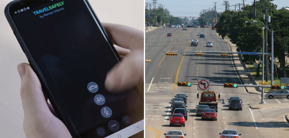
When you’re involved in an emergency situation, you want help to find you quickly. This week, the city of Keller will become the first city to launch the SirenGPS mobile app that speeds up emergency response and potentially saves lives.
Backers are calling it “Uber for 911” because the app uses GPS technology to locate the caller in need of help.
“The reality is Uber could find you faster and easier than traditional 911 because they use an app-based product with GPS technology, and that’s a huge problem when more than 80 percent of our calls are now coming from cellphones,” regional dispatch manager Warren Dudley said in a city press release. “The beauty of this product is that it will run parallel to our traditional capabilities and improve our speed, accuracy, and efficiency. It is going to revolutionize our ability to take care of our residents.”
“It is going to revolutionize our ability to take care of our residents.”
Warren Dudley
According to the city of Keller, oftentimes traditional 911 systems cellphone calls are located to the nearest cell tower, not the exact location of the emergency.
By next year, the Federal Communications Commission will require cellphone carriers to deliver a “dispatchable” location — within 50 meters — for 40 percent of cellphone calls.
The SirenGPS app, on the other hand, pinpoints the caller’s location for dispatchers for more than 90 percent of calls. It will work even when cell service isn’t available, according to a city press release.
The app also allows users to upload profile information such as medical history and emergency contacts.
And, calling 911 through the app is “fewer clicks than a normal call,” the city said in its release.
The Fort Worth Star-Telegram reported that the Northeast Tarrant Communications Center serves nearly 100,000 residents, and takes 911 calls for Keller, Colleyville, Southlake, and Westlake.
Delivering what’s new and next in Dallas-Fort Worth innovation, every day. Get the Dallas Innovates e-newsletter.


