![Greyhound buses at the terminal in downtown Dallas in April 2016. [Photo: typhoonski via istockphoto]](https://s24806.pcdn.co/wp-content/uploads/2017/05/Greyhound_970_EditONLY_Photo-typhoonski-via-istockphotoGetty-Images.jpg)
Greyhound Bus Lines started in 1914 transporting iron mine workers from Hibbing, Minnesota to the town of Alice two miles away, stuffing 15 passengers into an eight-seat car and charging 15 cents a ride.
The company was known as the Mesaba Transportation Co. then, and the short trip required little planning for its driver and passengers. It changed its name to Greyhound in 1928.
Now, Greyhound is based in Dallas and, oh, how times have changed.
Customers can view Greyhound’s routes when they search for directions using Google Maps.
Greyhound, now the largest provider of intercity bus transportation in North America, announced recently that it is partnering with Google Maps to help its customers more efficiently plan their trips and better connect its bus schedule with other forms of transportation.
Customers will be able to personalize their travel by exploring routes and locations at the street-level view, plan connections with other modes of transportation, and get walking directions from other transit locations.
“We are excited to provide a new travel planning solution for customers through our partnership with Google Maps,” Todd Koch, vice president of strategy and business development, Greyhound Lines Inc., said in a release.
“This partnership provides an easy and convenient way for customers to explore their journey door to door, and choose the Greyhound schedule that works best for them.”
It’s another step in the company’s crusade to improve the travel experience.
In February, Greyhound introduced one-click ticket purchasing for its Road Rewards members.
GREYHOUND SERVES 3,800 DESTINATIONS
With the Google Maps partnership, customers will be able to travel from one location directly to their final destination while viewing their travel route on a mobile device or computer, Greyhound said.
Greyhound said it offers more than 250,000 city pair options that now are connected to Google Maps. Customers can view Greyhound’s routes when they search for directions using Google Maps.
The company provides scheduled passenger services to 3,800 destinations carrying roughly 18 million passengers a year.
Dallas Innovates, every day
R E A D N E X T
-

Fêtefully, Safer Management, Inc. and XR Sports Group received a total of $300,000 in funds as three of 50 founders chosen for the program focused on boosting Black entrepreneurs leading high potential startups.
-
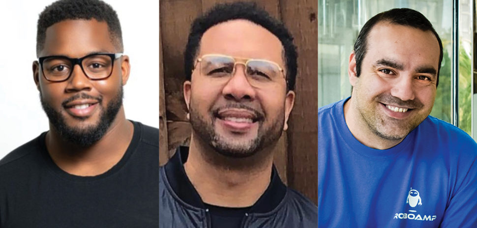
From North Texas, Roberto Inetti (ROBOAMP), Fred Burns (Safer Management), and Kedreon Cole (XR Sports Group) will participate in the six-month program for underrepresented entrepreneurs.
-
The two tech giants are releasing new solutions across their edge computing portfolios to help businesses "deliver unique experiences to their customers"—today and into the future.
-

At the close of a landmark year—one that made her one of 25 Black female founders to have raised at least $4.6 million in venture capital—Mandy Price is looking ahead to what 2022 will bring for the DEI space.
-
Germany-based FlixMobility operates Europe's FlixBus and FlixTrain brands—noted for their cool-factor mix of tech startup, e-commerce, and classic transportation traits.