MORE►
Google Maps
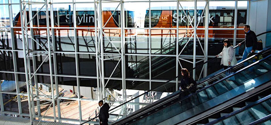
A Skylink train at DFW Airport [Photo: Dennis Schroeder/NREL]
The Last Word: NREL’s Stan Young on ‘Digital Wayfinding’ at DFW Airport
by Dallas Innovates | Staff Report | Mar 31, 2023
In a report aiming to help Dallas-Fort Worth International Airport achieve net-zero carbon emissions, Young and his NREL research team found a surprising pathway to airport energy savings: "digital wayfinding technologies." Technology including phone app-based "augmented reality navigation" can help travelers move through facilities more efficiently, with autonomy, while also helping people with reduced mobility.


by Kevin Cummings |
Sep 20, 2022
It's easy to get from A to B. But what if you have to go from A to B to C to D to E? Finding the fastest way to complete all the stops can be daunting. But now a UT Dallas computer science student has co-founded Routora—a free Google Maps extension tool that reorders your stops for the fastest, most efficient trip. While still in beta, the tool has already attracted around 3,000 users from 70 countries.
“By creating more efficient routes, not only are they saving money on gas, but they're also emitting less carbon into the atmosphere," says Routora Co-founder and CEO Tom Vazhekatt.
MORE►
![Greyhound buses at the terminal in downtown Dallas in April 2016. [Photo: typhoonski via istockphoto]](https://s24806.pcdn.co/wp-content/uploads/2017/05/Greyhound_970_EditONLY_Photo-typhoonski-via-istockphotoGetty-Images-360x203.jpg)
by Lance Murray |
May 31, 2017
With more than 250,000 Greyhound city pair options connected to Google Maps, passengers can personalize trips from start to finish.
MORE►