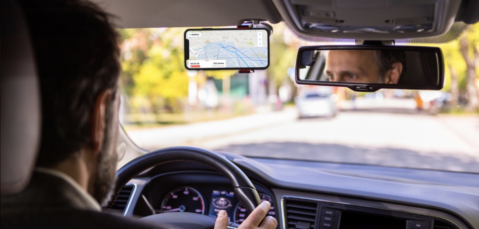
Mapillary, a service that uses computer vision to automate and scale mapping, has launched its marketplace for street-level images and map data—and Dallas is one of three locations with a live image-capturing project on the platform.
Street-level images are essential to not only people, but also autonomous vehicles, drones, delivery fleets, and other high-tech navigational devices.
“The whole mapping scene is changing rapidly and more players than ever need detailed and up-to-date maps,” CEO and co-founder Jan Erik Solem said in a statement. “Recently we’ve had a lot of companies ask for map data in locations where there is no imagery, and that’s why we’ve built the marketplace.”
How it works
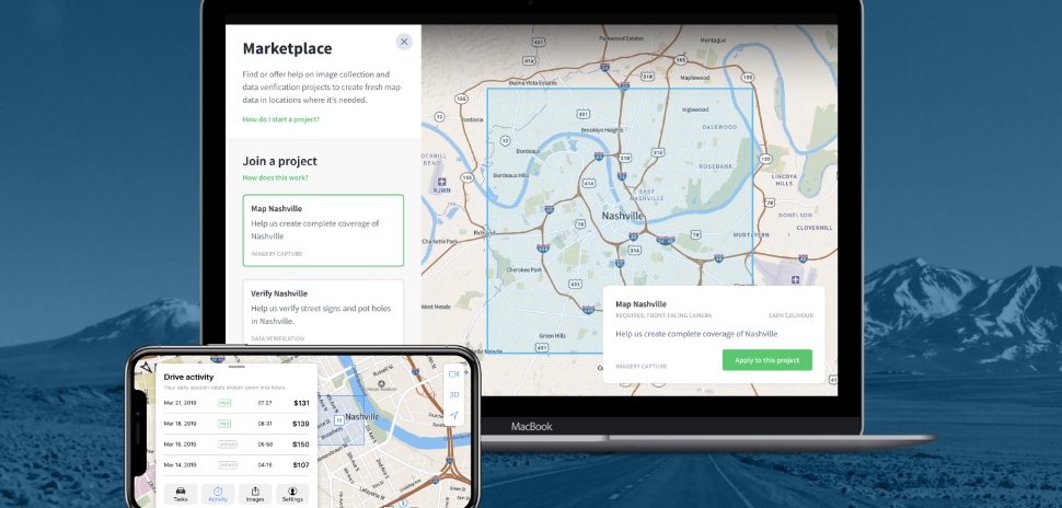
Through Mapillary’s demand-driven marketplace, organizations in need of data can request images via location-specific, image-capturing projects.
[Photo: Courtesy Mapillary]
Anyone can apply to drive to a location and, once approved, receive tasks for capturing photos. Drivers earn a fixed hourly rate and have the flexibility to accept or decline tasks at their convenience.
Photos can be taken using smartphones or camera equipment loaned from Mapillary. Once uploaded, the images are then processed using computer vision to blur out sensitive information, such as faces or license plates.
Capturing for Dallas
With its variety of new businesses and neighborhoods, Dallas’ demand for street-level images is not surprising. However, more than just local organizations have the opportunity to benefit from the image-capturing project.
With an estimated 12,000 Uber drivers in Dallas in 2016, the appeal of similar opportunities to make money is promising. Driving with Mapillary may provide residents a fun way to not only earn cash, but also explore the city without the pressure of other riders.
![]()
Get on the list.
Dallas Innovates, every day.
Sign up to keep your eye on what’s new and next in Dallas-Fort Worth, every day.

